|
Flying Field Pix
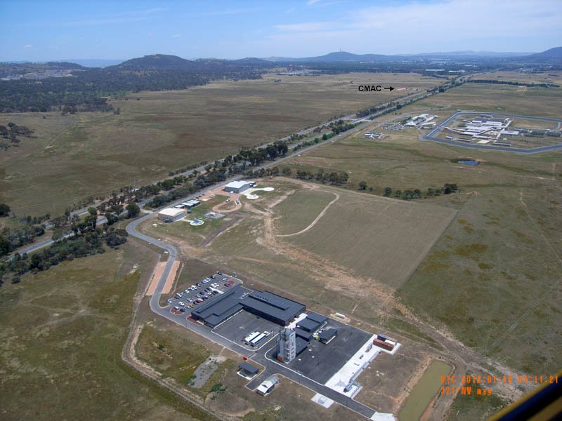
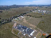
Aerial photo of Hume Aviation Precinct.
On the east side of Monaro Highway are (from foreground) ACT Emergency Services Agency (ESA) Outdoor Training Facility, Snowy Hydro Southcare Helicopter Base, ESA Helicopter Base, Andrew Maconochie Centre.
The pink-coloured airstrip at the CMAC field is visible in the distance, in the Jerrabomberra Grasslands.
Photo supplied by ACT ESA 18JAN2012
Download hi-res (3200 x 2400) image file. |
|
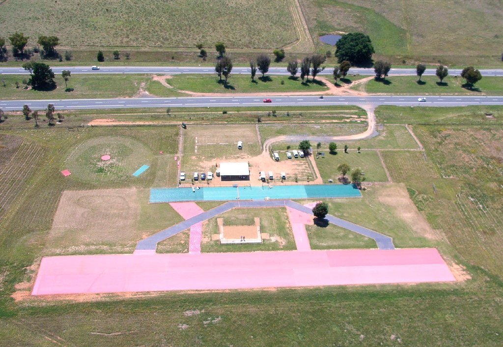
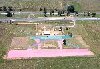
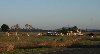
CMAC Field from Air, Jan 2011
Byam Wight and Kent Jorgensen 01JAN2011 |
 |
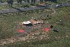
CMAC Field from Hot-air Ballon, Apr 2010
FSGT Justin Galbraith 10APR2010 |
 |
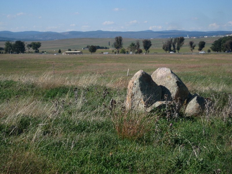
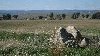
CMAC Field from western boundary
of enclosing 100 acre paddock
DMH 17APR2010 |
 |
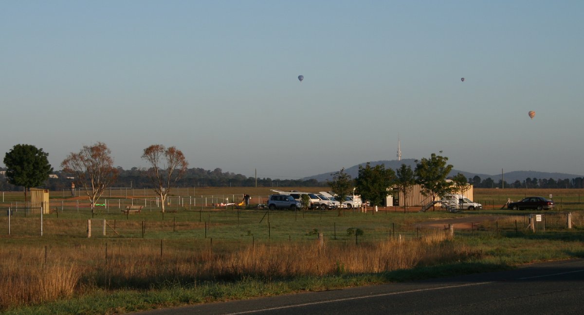
CMAC Field early morning
DMH 20FEB2010 |
 |
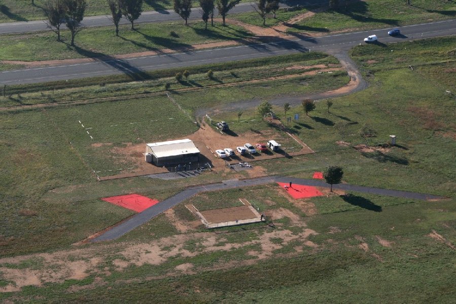
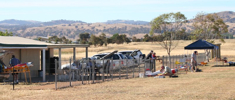
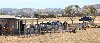
CMAC Pits from North
DMH 13DEC2009 |
 |
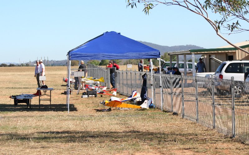
CMAC Pits from South
DMH 13DEC2009 |
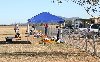 |
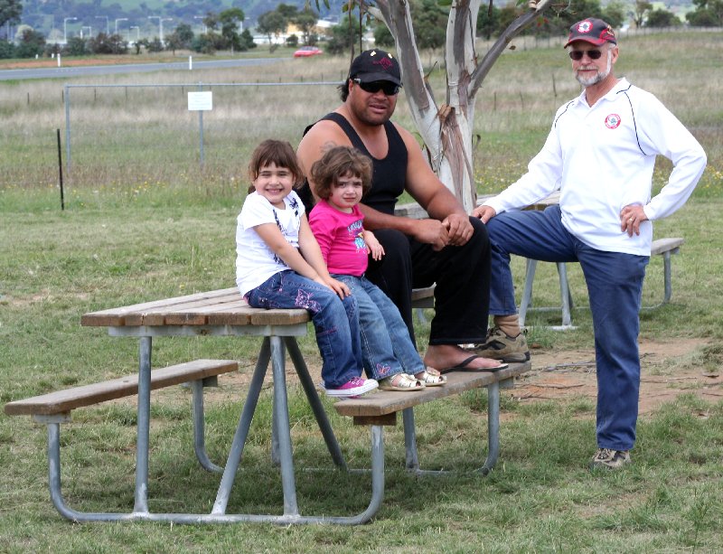
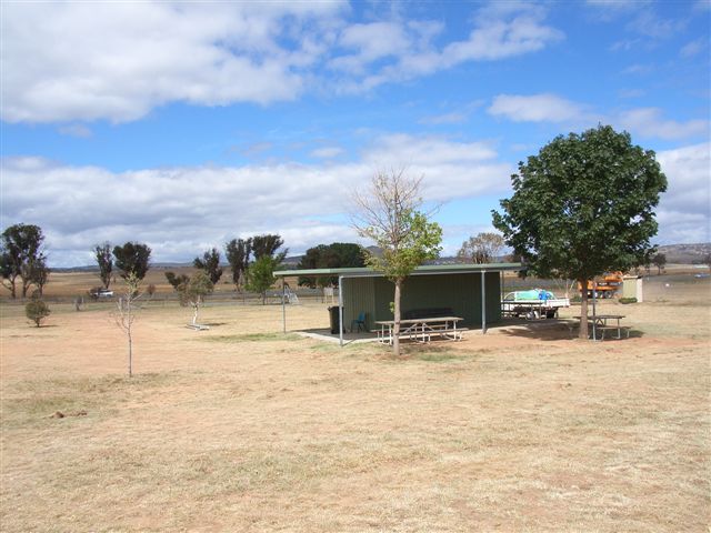
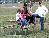
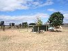
CMAC Picnic Area, committeman Vic Jones at right
DMH 14MAR2010 |
 |
|
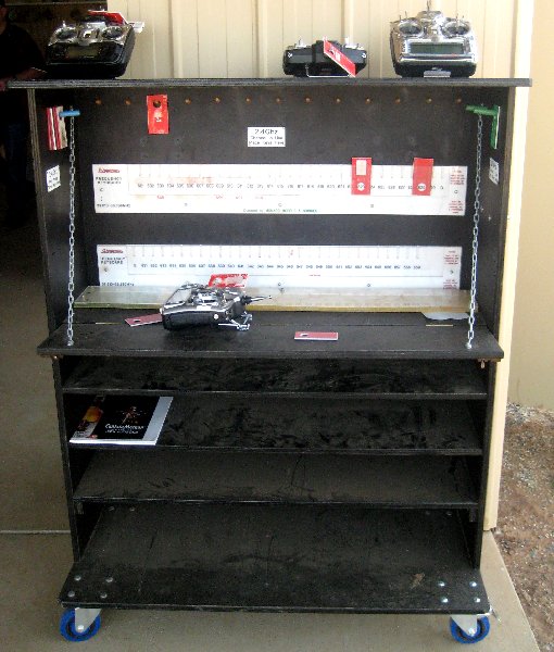
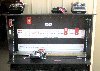
CMAC Frequency Control Keyboard
and Transmitter Pound.
Cabinet-making by Klaus Tschorn
DMH 27MAR2010 |
 |
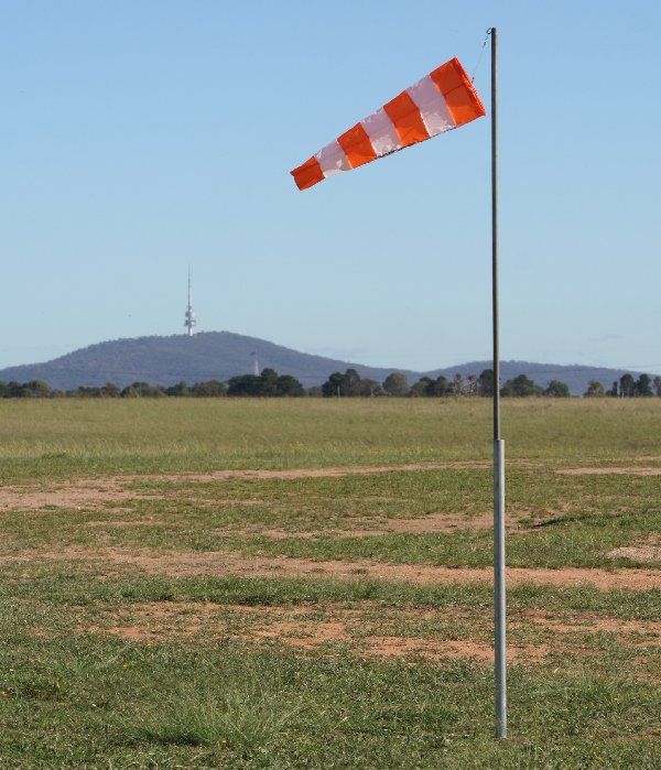
New "HobbyKing" Windsock
Kindly donated to CMAC by Justin Galbraith
DMH 03MAR2010 |
 |
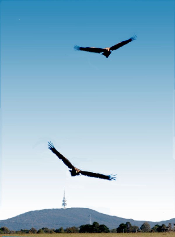
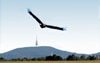
Wedgies (Aquila audax) sharing CMAC air space.
DMH 03MAR2010 |
 |
Aerostats (aka hot air bags) sharing CMAC air space. "EU" is full size, "Kavanagh" is R.C scale model operated by Justin Galbraith
DMH 20FEB2010 |
 |
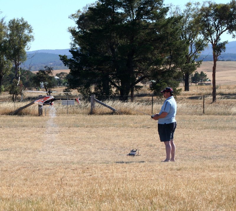
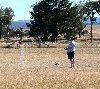
CMAC Helicopter Area, pilot Bruce Beetson
DMH 13DEC2009 |
 |
Old CMAC field layout, Feb 2009
BJW 16FEB2009 |
 |
|